

The campsite we stayed at last night was definitely the nicest we've been to so far. All the signs were friendly (at the campsite in Höfn there were threatening notices, like "PAY BEFORE SETTING UP OR WE WILL CHARGE YOU MORE"), the showers were nice, clean, and free, the common room had kettles and dish washing things, and they had free WiFi (although we didn't need it, as our camping car came with a portable unlimited hotspot). We started our day with some muesli, and some different (more liquid) skyr that we'd bought the night before at the supermarket down the road.
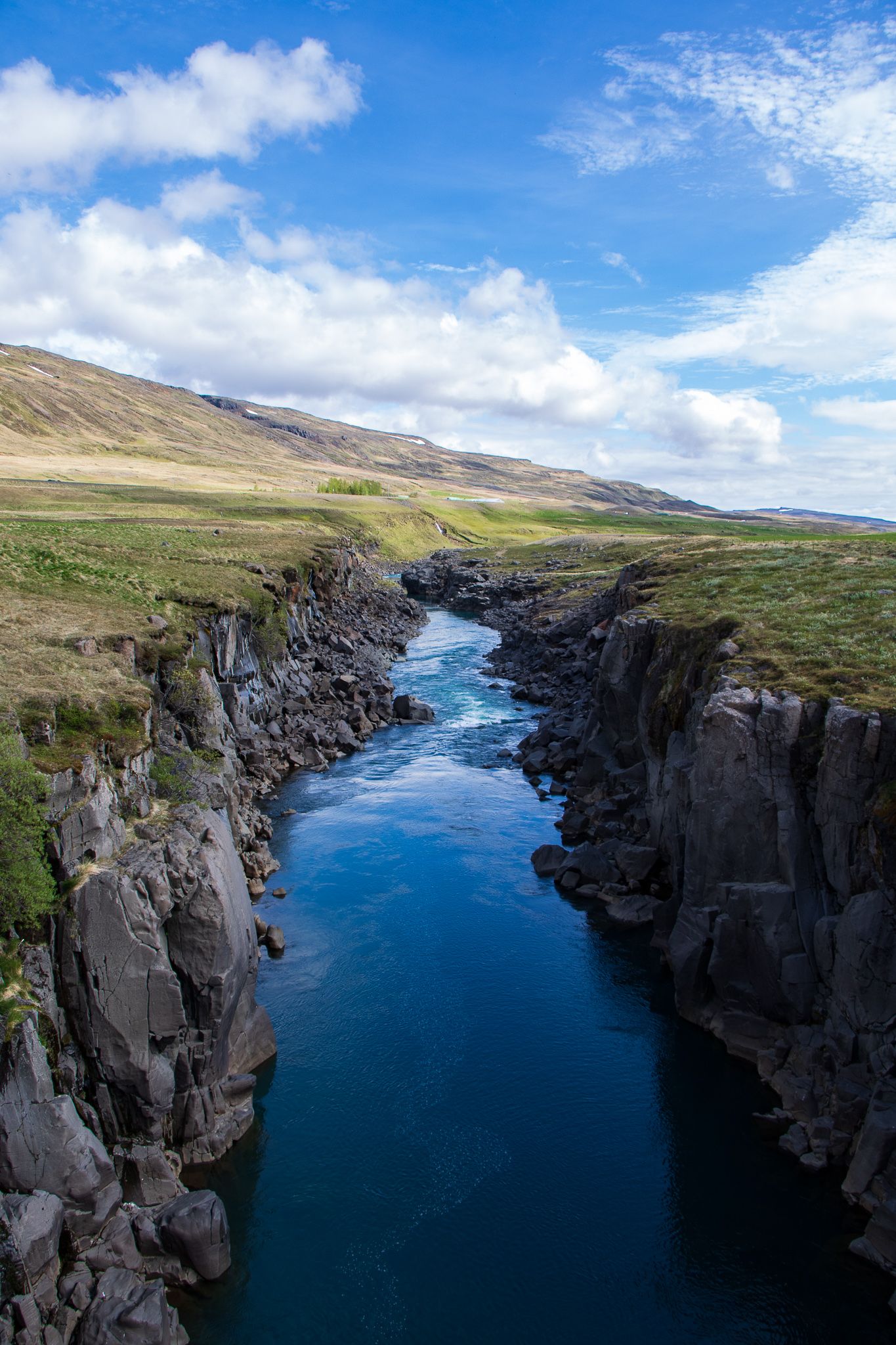
We packed up, and got back on the road toward some more major waterfalls. Along the way, we made a few stops at interesting looking things we saw. The first was a little farm bridge, which crossed a massive canyon! In the canyon runs the Jökulsá á Dal river, which powers Iceland's largest hydroelectric power plant Kárahnjúkar. While researching that fact, I also discovered that before building the dam the Jökulsá á Dal river used to transport 120 tonnes of sediment per hour down into the North Atlantic Ocean. That's crazy!
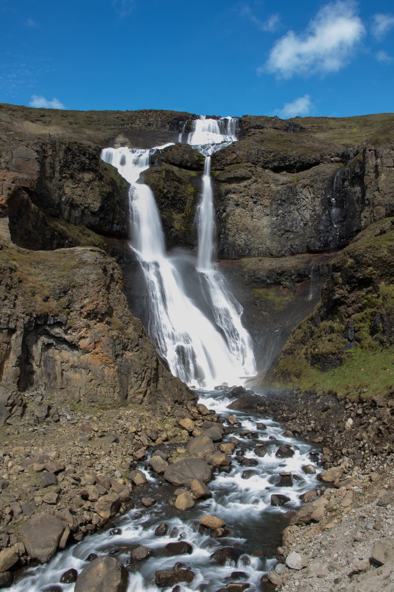
Our next unplanned stop was at Rjukandi waterfall, which we could see from the side of the road. Katie suggested I take my tripod up the hill, and so I took some long exposure shots which made the water look really soft and magical.
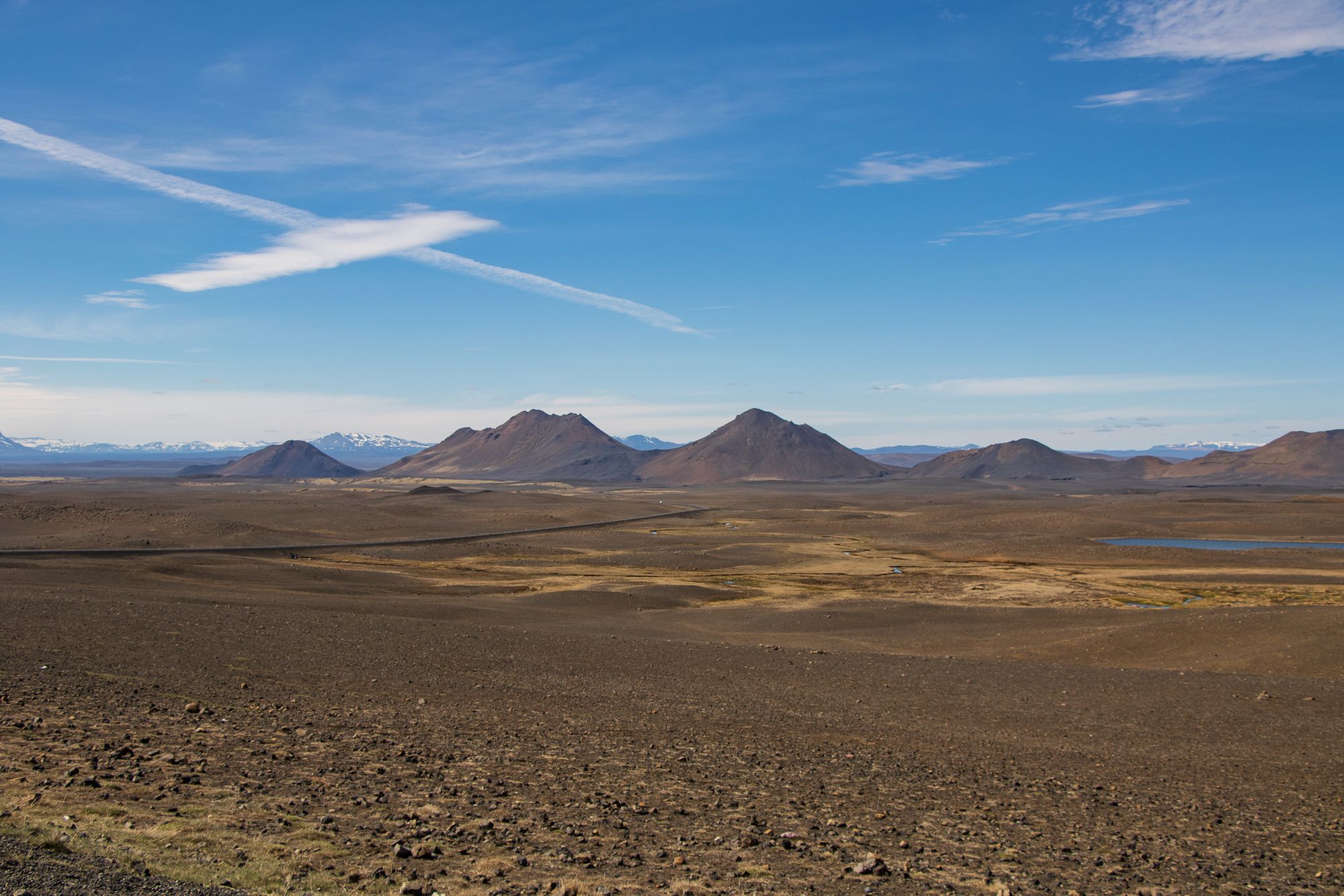
Further along our route, we pulled off the road in the middle of the Icelandic Highlands. The landscape was totally barren desert, with red earth and sand dune like mountains, backdropped by distant snowy peaks. We thought that we could easily be on the moon, or on mars.
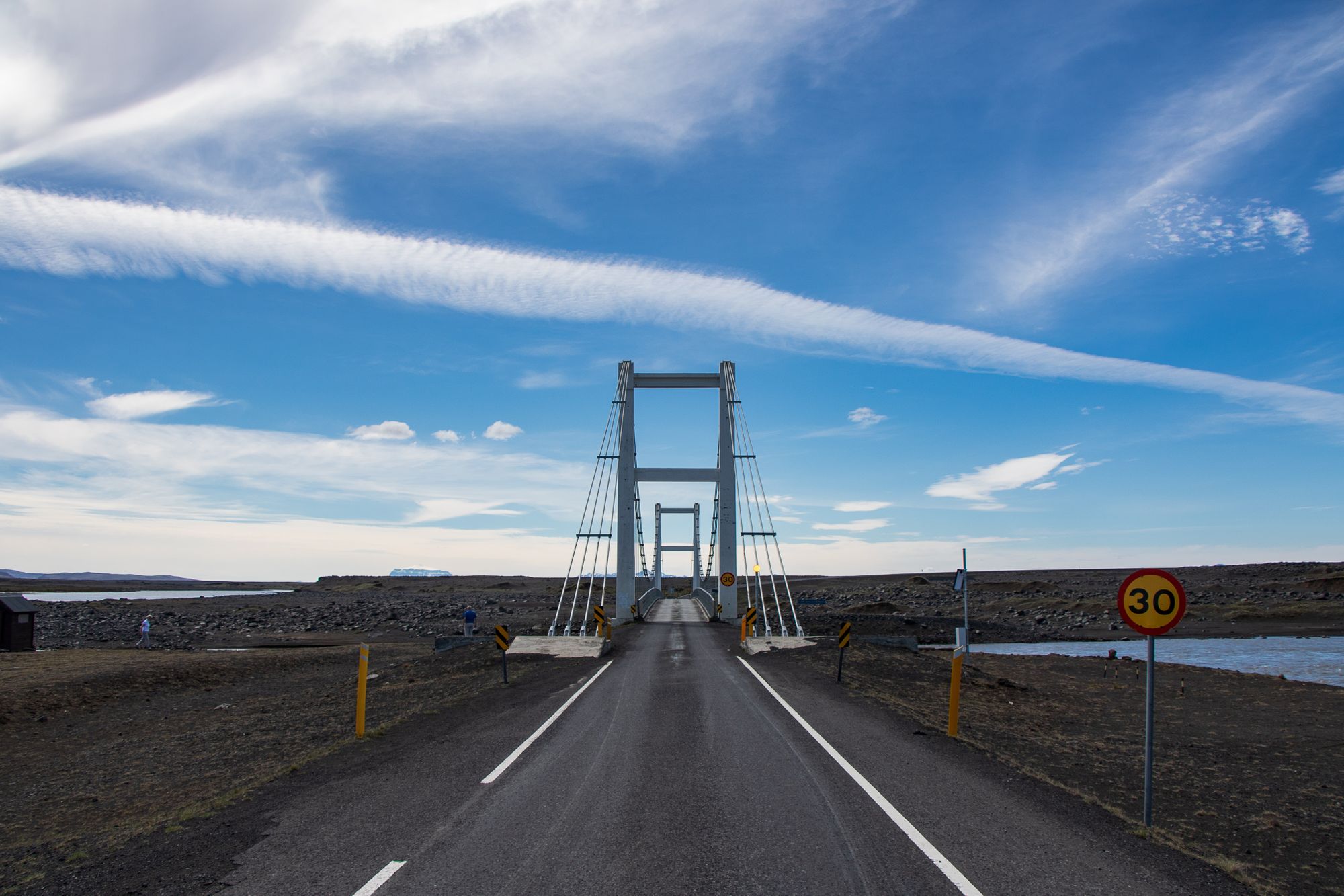
The final departure from our plan was at a small suspension bridge over the river Jökulsá á Fjöllum, which eventually feeds the waterfalls we were heading towards. The bridge looked so out of place in the otherwise flat and featureless expanse of desert.
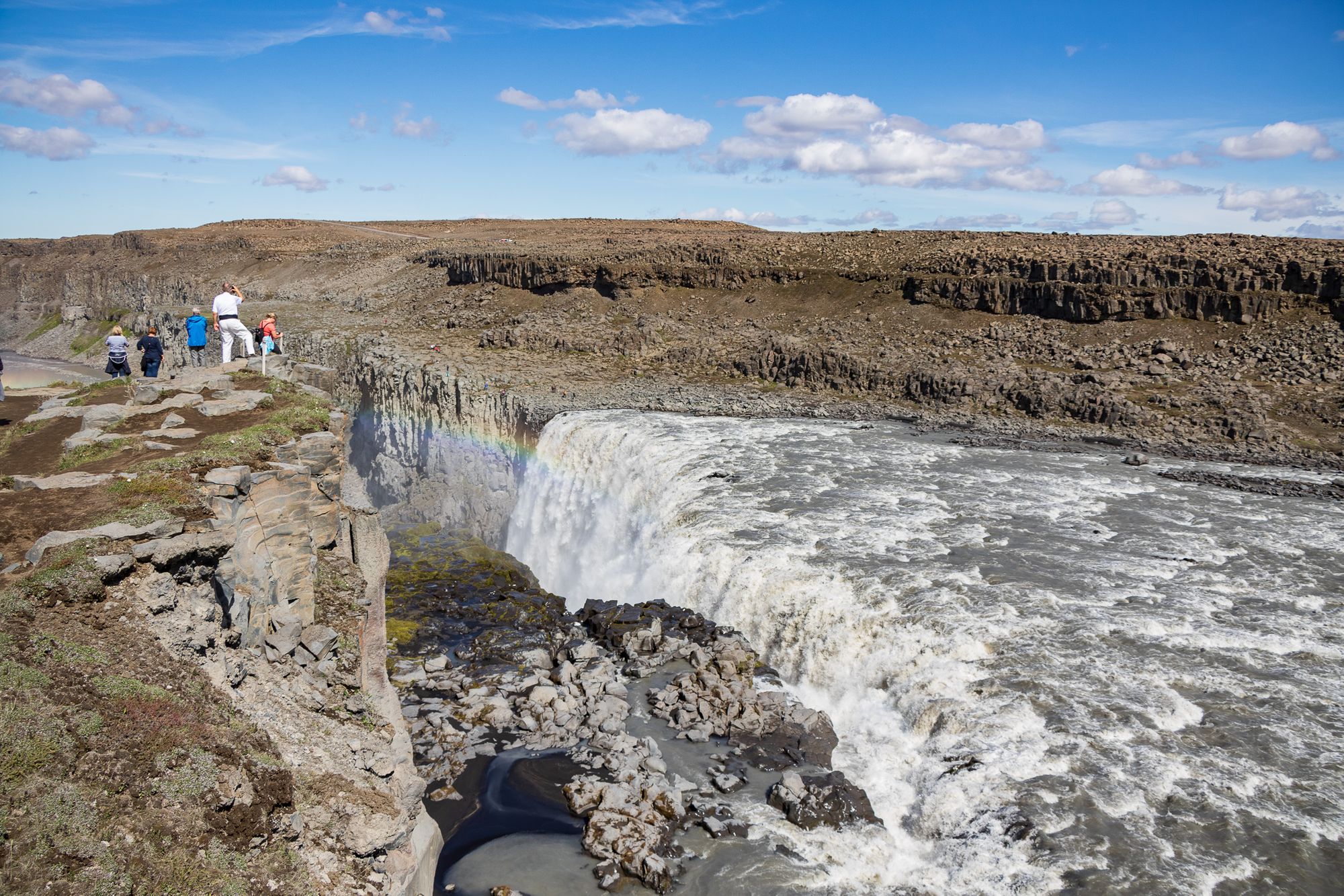
Eventually, we arrived at the carpark to the Selfoss and Dettifoss waterfalls. Dettifoss is the largest waterfall in Europe in terms of flow, at 193 m³/s. The flow combined with the 44m of fall distance also gives it the title of Most Powerful Waterfall in Europe, although I don't think this is a strictly scientific award.
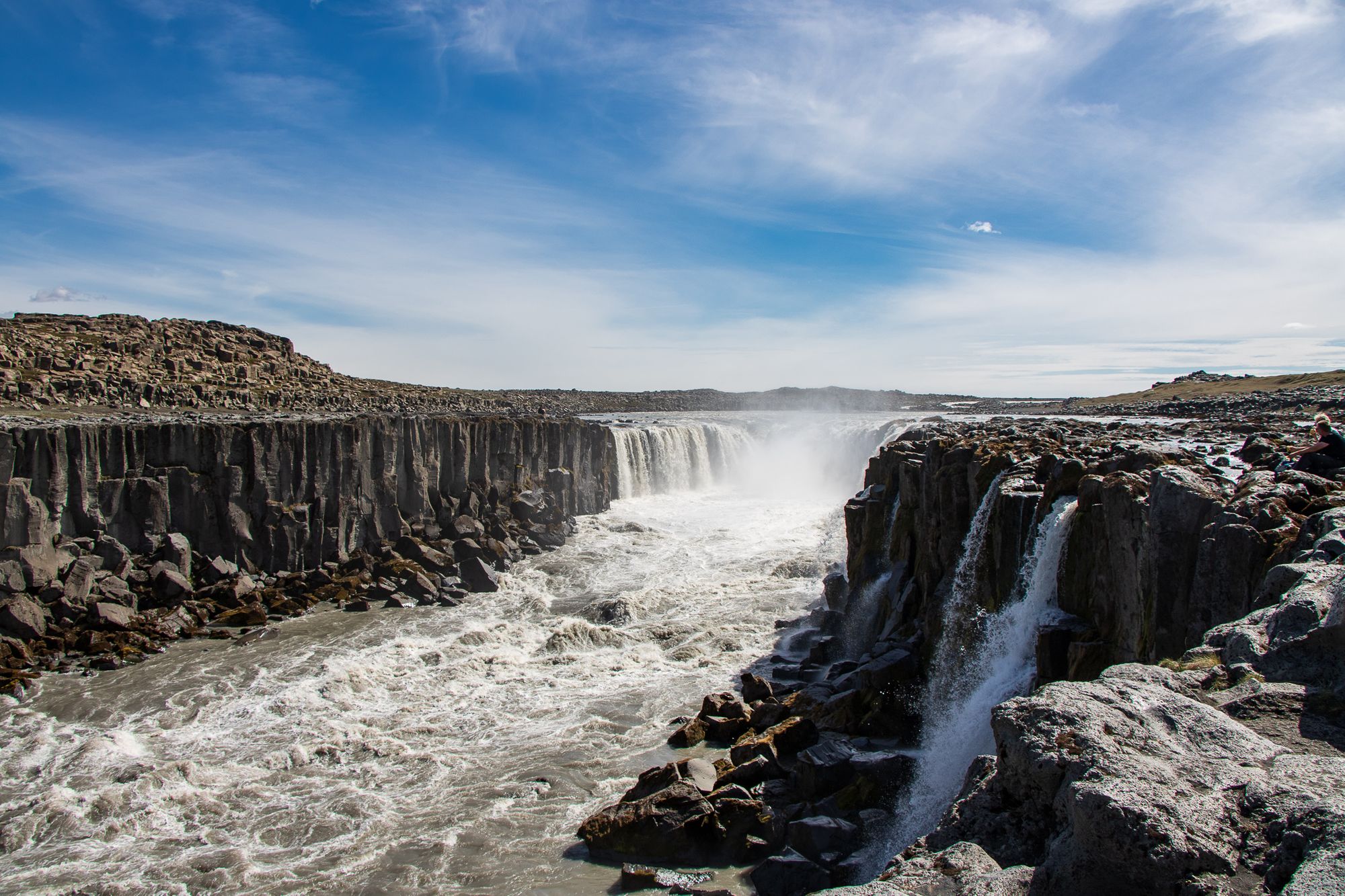
We walked first to Dettifoss, then upriver along the ragged cliff edge until we got a good view of Selfoss. The river has been slowly eroding the bank away, and we could see obvious signs of rockfall on the far side, so we kept away from the very edge.
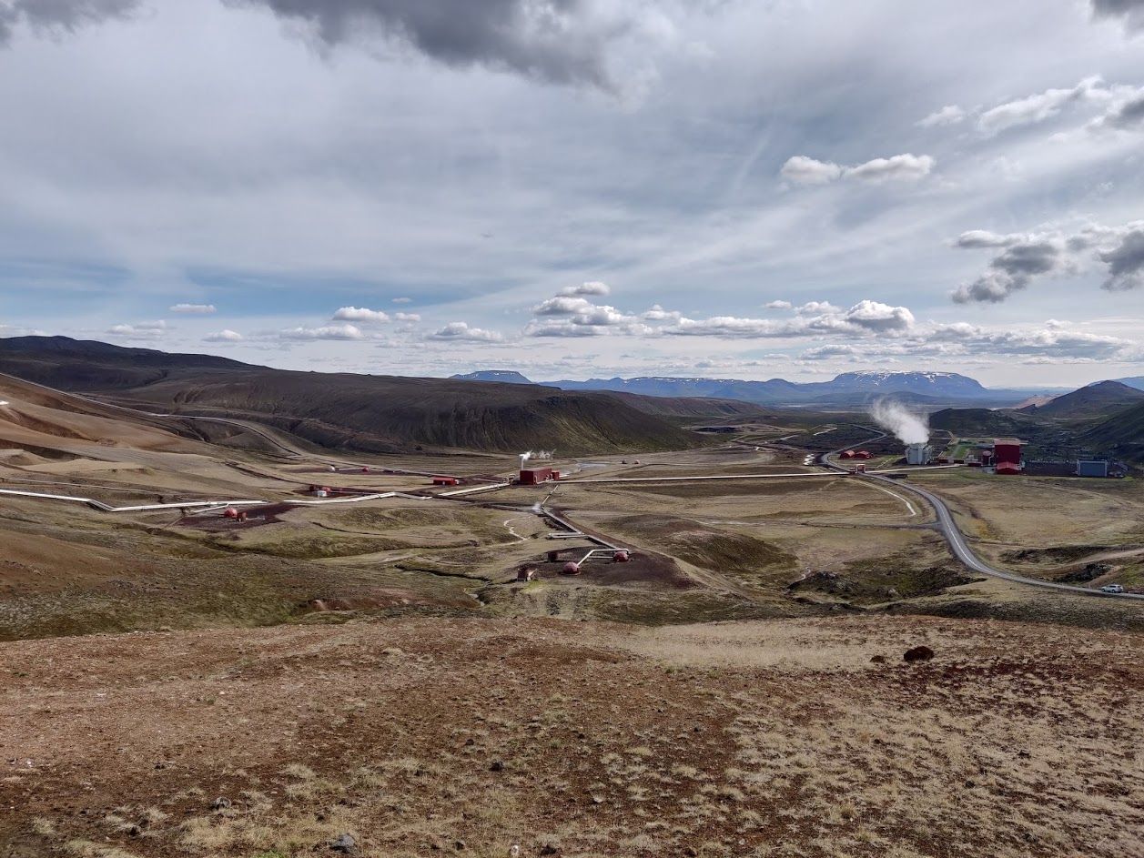
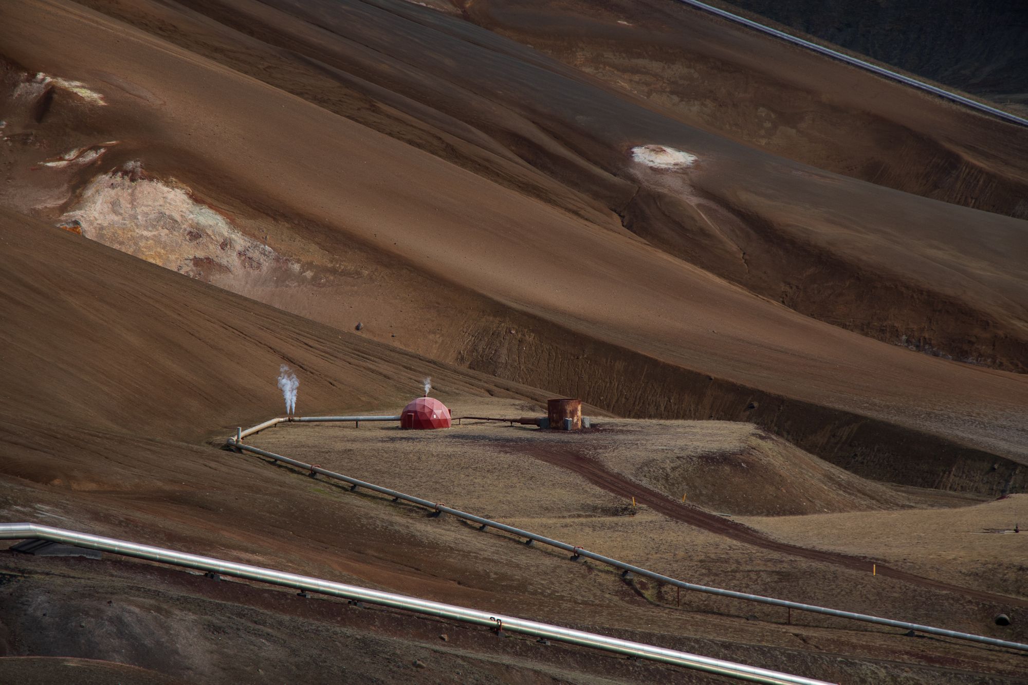
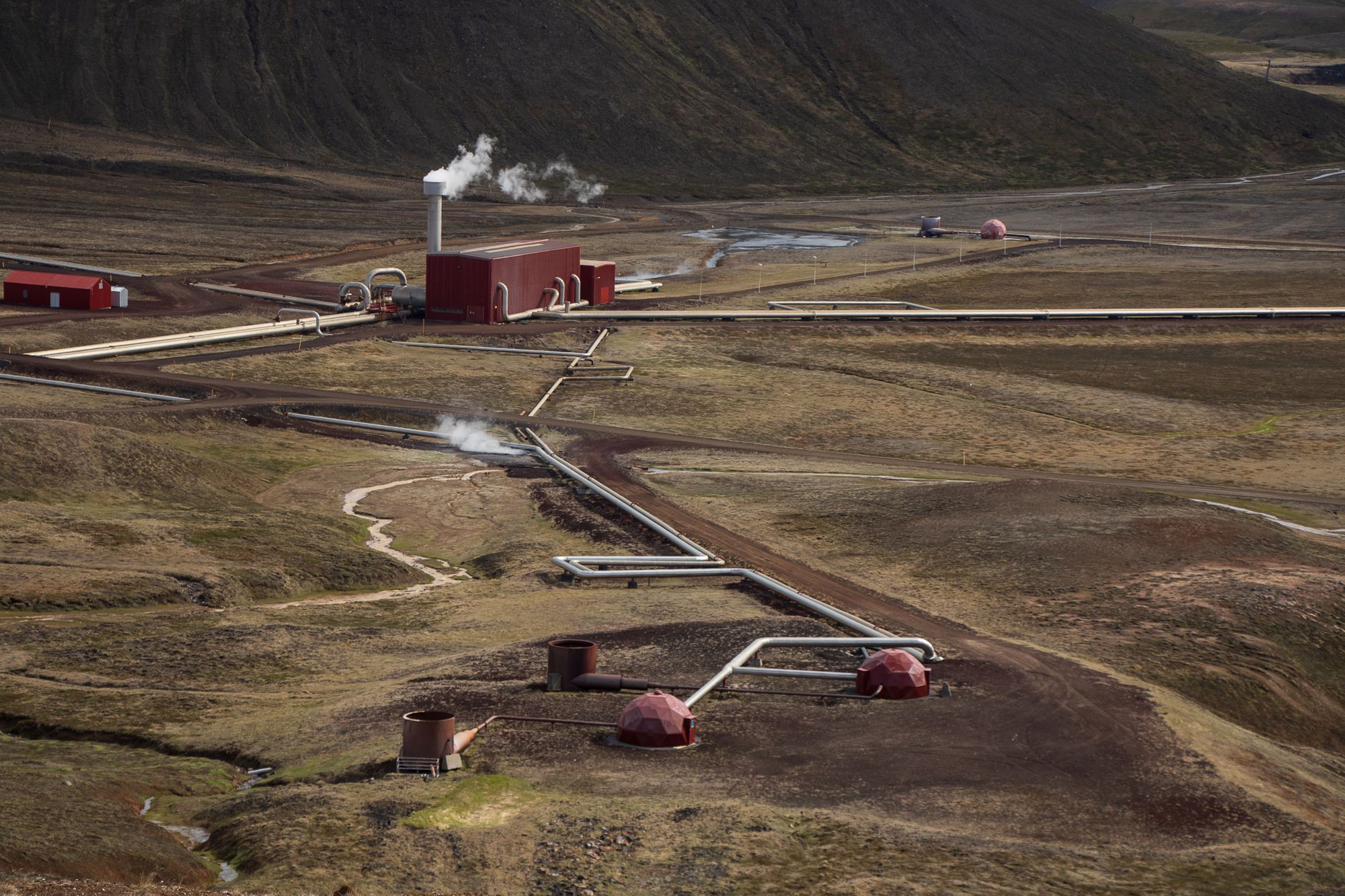
Heading North West we drove toward Krafla, a caldera with a long history of volcanic activity. It is the site of the Krafla Power Station, which generates 60 megawatts of electricity from high pressure steam piped to it from 33 boreholes in the surrounding area. The boreholes are covered with geodesic domes to protect the equipment from the harsh Icelandic climate. These domes, along with the pipes and the alien-looking landscape, felt very much like what I imagine a settlement on Mars to look like. We stopped for a while at the power station's visitor centre, and learned about the area and how geothermal power generation works.
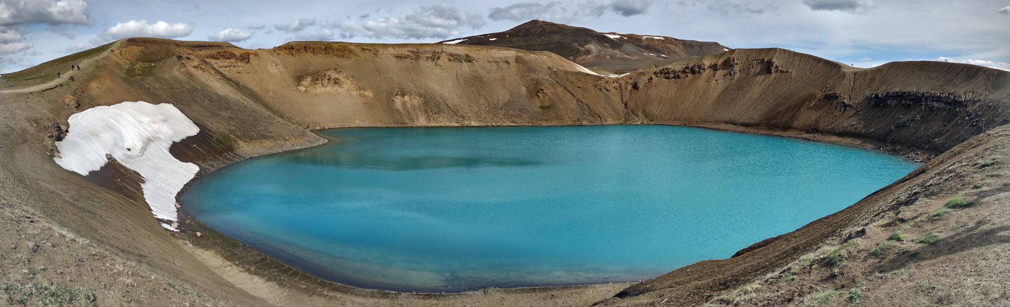
One of the craters in Krafla is called Víti, which means "hell" in Icelandic. It's very deep, and has a milky-blue lake in the middle of it surrounded by high walls of rust coloured clay. We didn't walk around the rim, deciding to conserve our energy for a hike at our next stop, but instead stood for a while at the main viewing platform and watched some people take selfies with their drone. I considered getting mine out, but figured there were too many people around, as well as being too windy.
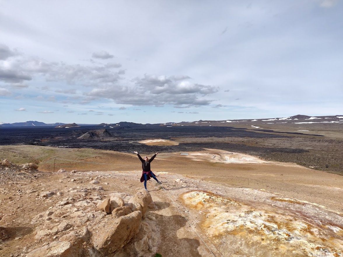
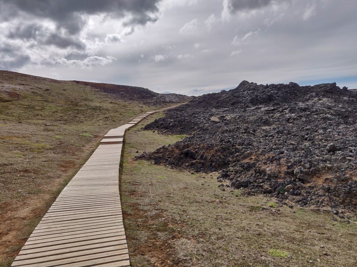
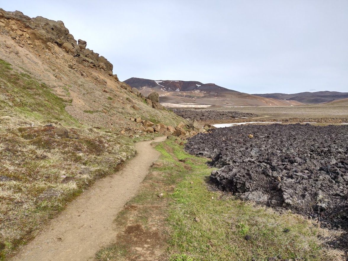
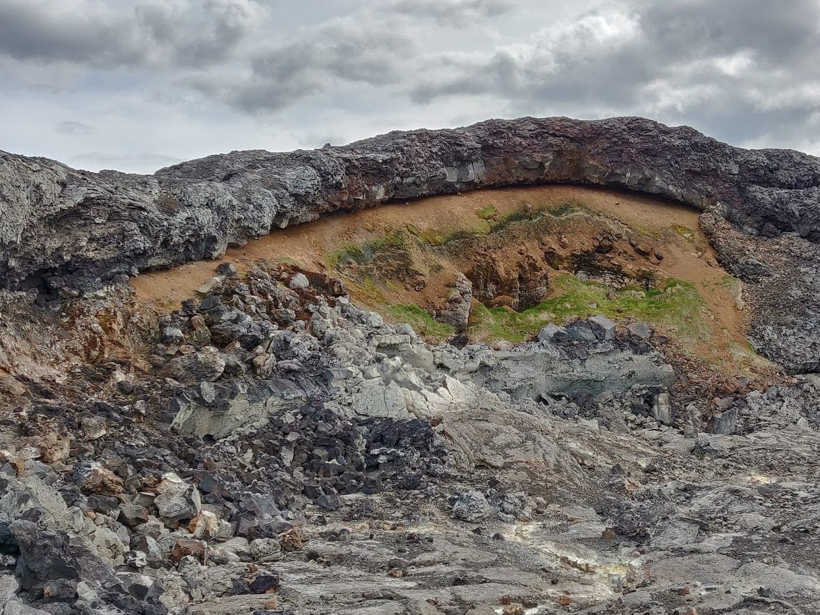
Further down the hill from Víti is Leirhnjúkur, a great plain covered in lava flows from the Krafla Fires eruption which took place between 1975 and 1984. We walked around here for an hour or two, marveling at the hot pools, fumeroles, and bubbling mud. As we hiked onwards, the path took us through hostile lava black volcanic rock, some of which was steaming. It was really cool seeing how the lava had poured along the ground, and the patterns in which it had solidified, although it felt very dangerous walking on top of it!
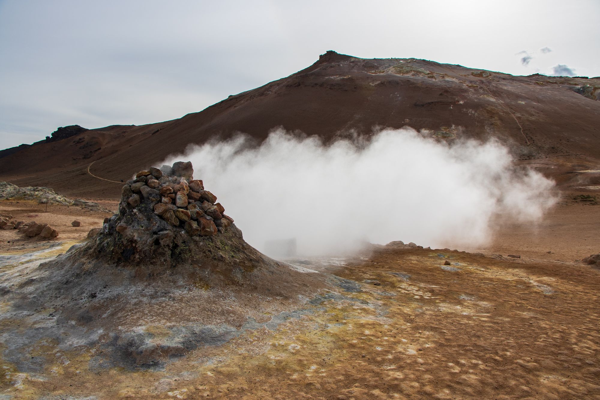
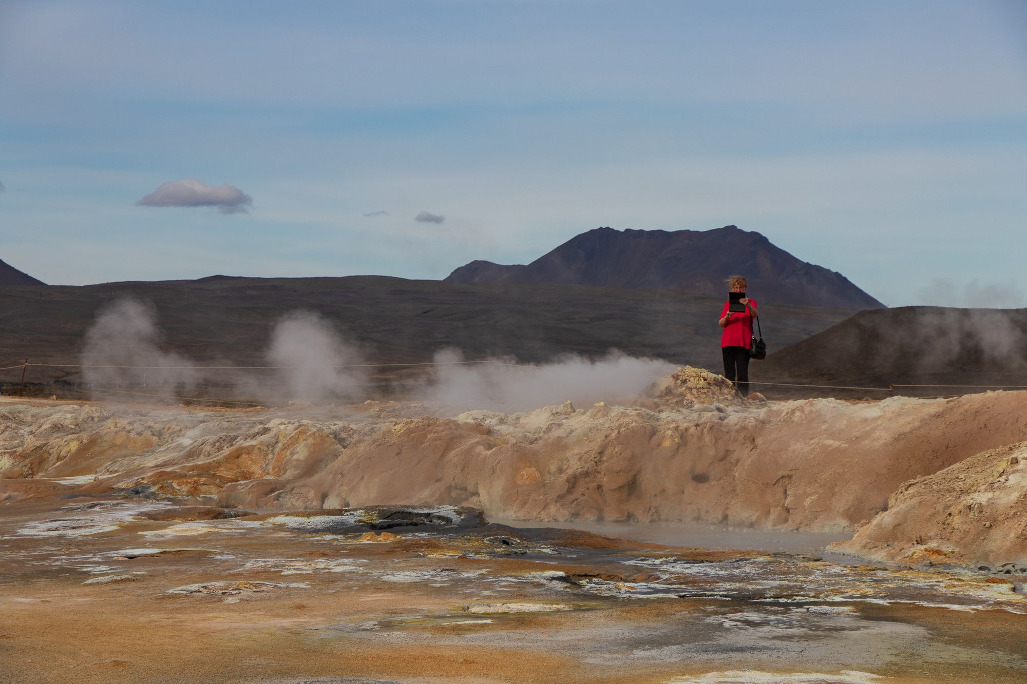
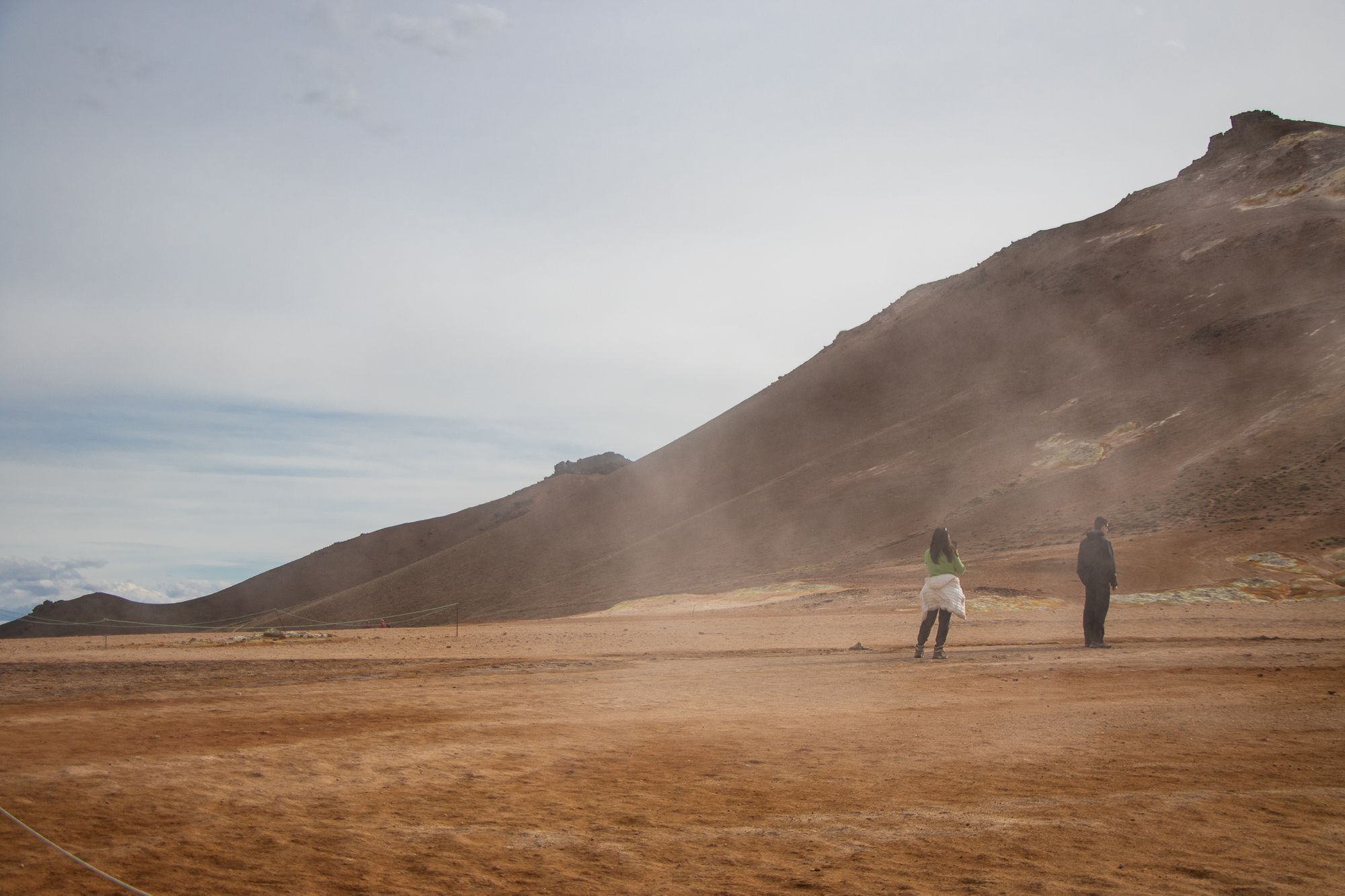
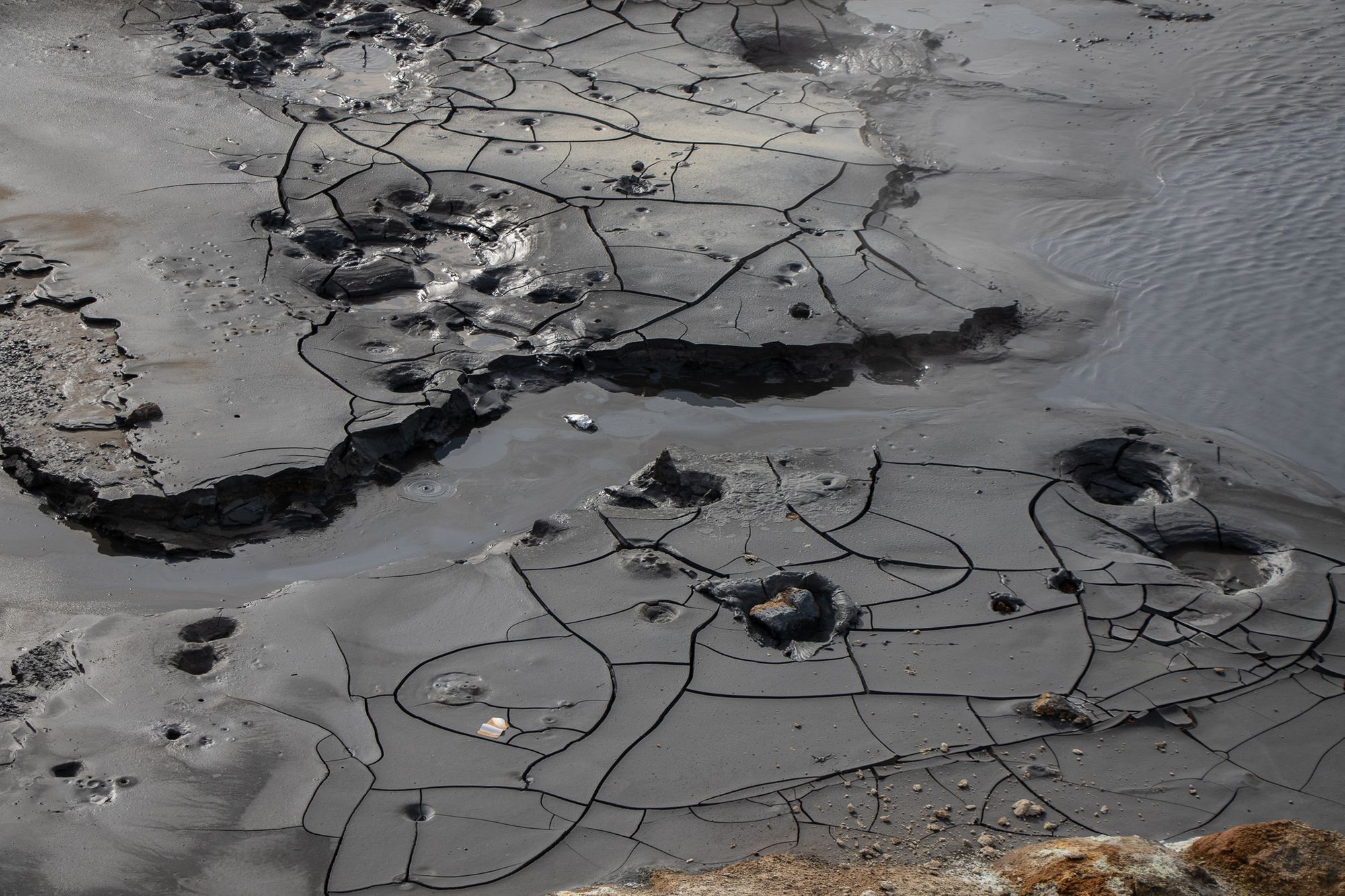
Our last point of interest in the area was Hverir. This is another geothermal area just outside the Krafla caldera, full of fumeroles, steaming cracks in the ground, and boiling pools. The minerals brought to the surface by the hot water and steam have coloured the dirt in a rainbow of colours, from deep red and purple to light green, yellow, and blue. It looked like the ground was blistering, and made us feel like the earth's crust was very very thin.
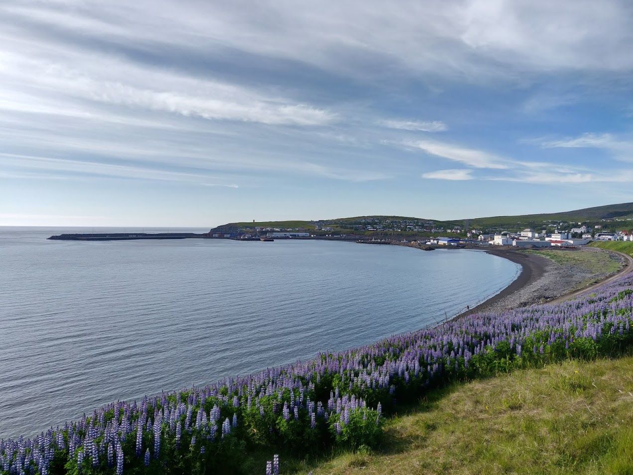
We arrived in the picturesque seaside village of Husavik in the evening, and Katie woke up when we stopped on a hill outside town to take more photos. This wasn't the end of our day though, as we had reserved tickets to go whale watching this evening!